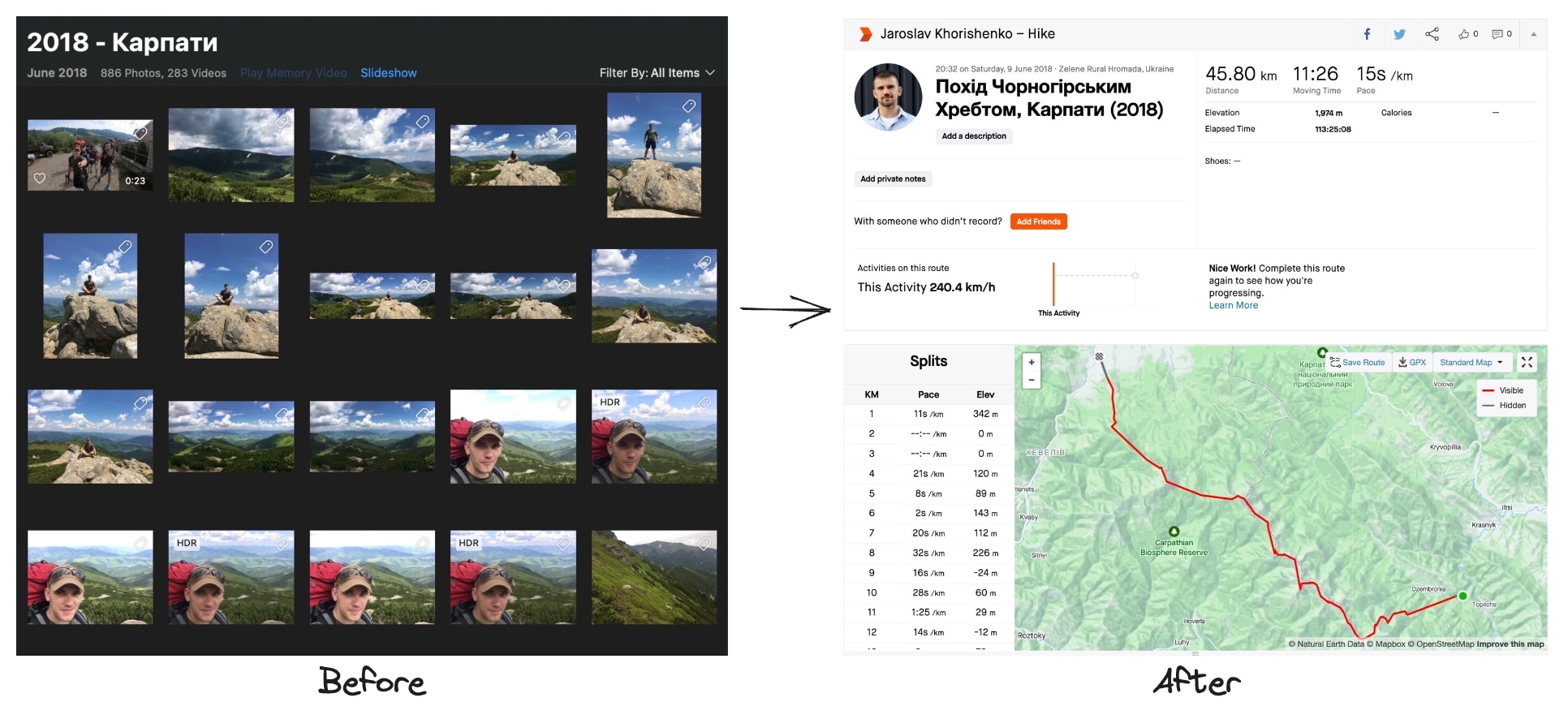
I love hiking, especially in the Carpathian Mountains. In the past, I couldn’t afford any special tracking devices. But I found out that I had a tracker in my pocket all along - my smartphone.
When you snap a photo with your smartphone, it saves the place where you took the picture. I thought, why not use this info to map my hikes?
At first, I made a simple program to do this. But then I thought it would be better to make a tool that anyone could use. That’s how the img-to-map tool was born. It’s a tool that changes your photos into maps of your hikes. If you’re interested, you can find out more about it here: https://github.com/husky-dev/img-to-map or you can ask me directly how to use it.
And just to be clear, our part of the Carpathian Mountains is vampire-free 😅 They’re all in Romania. So, happy and safe hiking!
